
After hanging out in camp for a couple of weeks it was time for another adventure. Shortly after 9am we left camp and headed up the "S33" with the goal of reaching up to Hwy 78 which ultimately meets up with the I-10. But we weren't bound to go all the way up north.
The S33 proved to be a road which I would not ever recommend to anybody. Large parts of the pavement is falling apart and unless you are test-driving your vehicle, chances are you gonna lose parts of it along the way. So don't....!
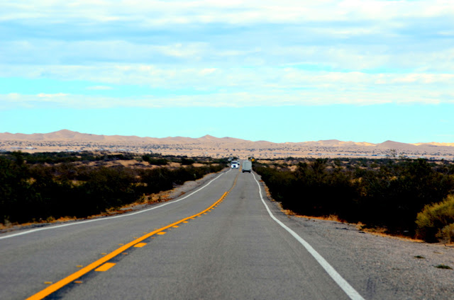
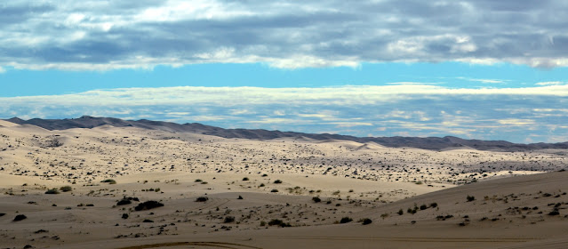
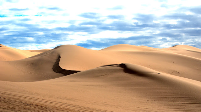
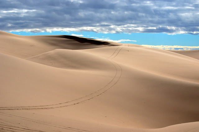
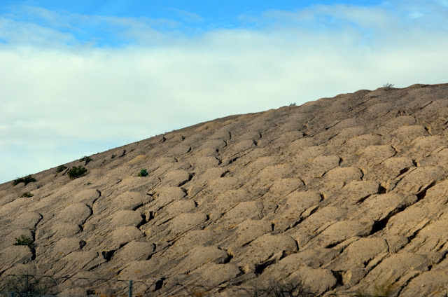
Highway 78 is of quite another quality. The road is not very wide, but in good condition otherwise. It brings us into the Imperial Sand Dunes and Glamis.
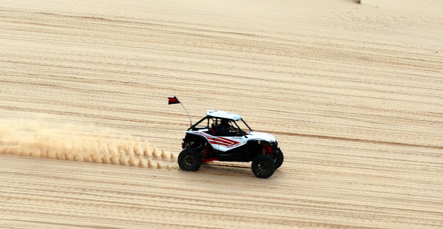 "Mel Gibson" vehicle racing
 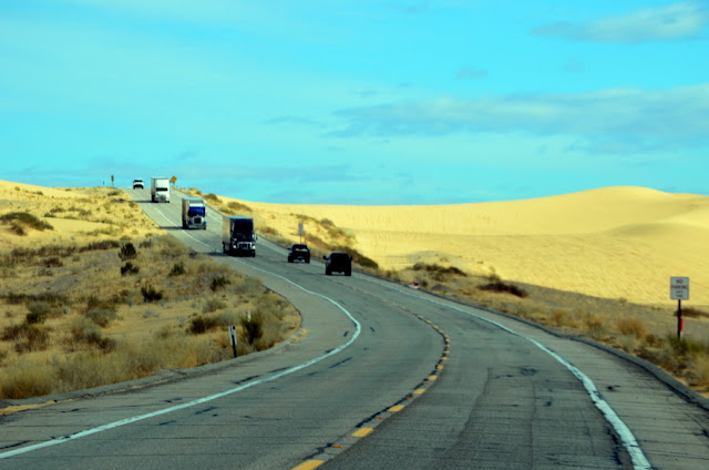 Highway 78 going up the dunes
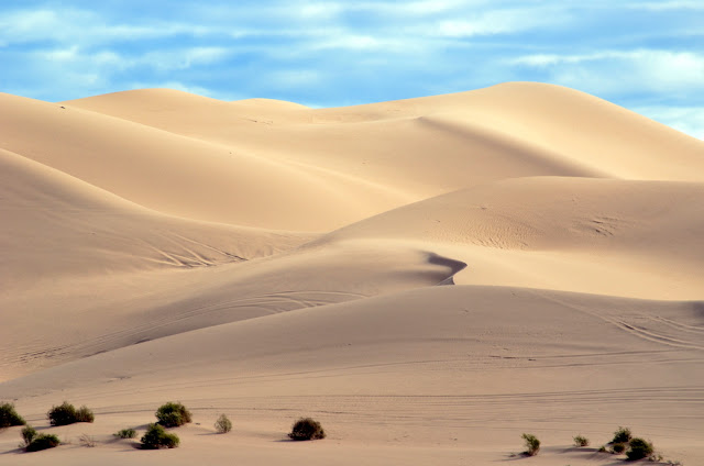
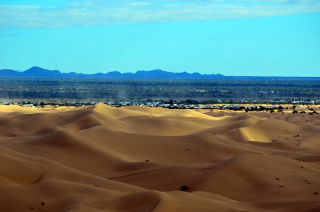
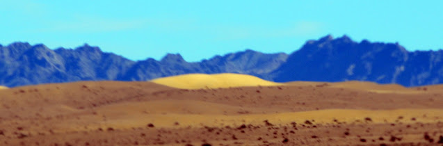
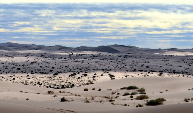
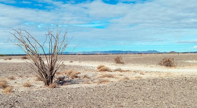
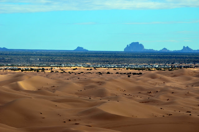 The Picacho area mountains in the far distance
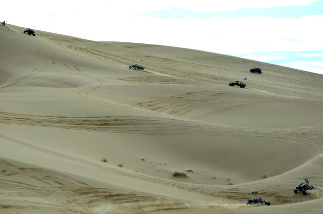 I
I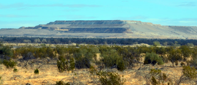
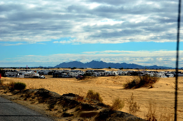
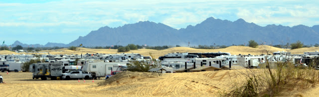
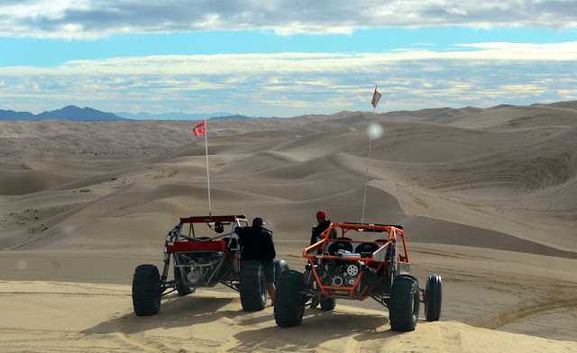
And this is how they camp in clusters, breathing in the dust they produce with their monster vehicles
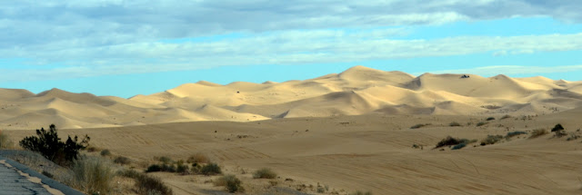
Glamis is not really a town or a village. Glamis is a place with temporary looking shacks, a gas station and a little place to buy food essentials. Maybe there is a bar as well - it wouldn't surprise me, given the type of clientele being around that place. Yes, people up here are of a special breed. I am talking about those men and women whose only recreational occupation is racing through the dunes with 60 mph, risking not only their lives (bad accidents happen there frequently) but also destroying the peace and beauty of this really unique area. We went up to a point of overview and I am telling you the noise from the huge engines of these truly Mel Gibson-style vehicles was ear-deafening.
For us it is unfathomable that something like this has the blessing of the government. But I guess it sorts under the American understanding of "Freedom".
We had to get out of there and find a more peaceful spot. Only some miles farther up the road, the fence of biggest US-Goldmine begins running along the highway. The Mesquite Mine was taken over by Equinox Gold in 2018.
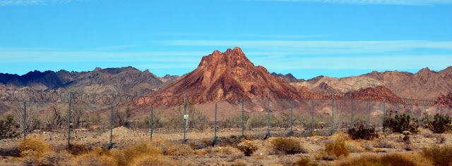
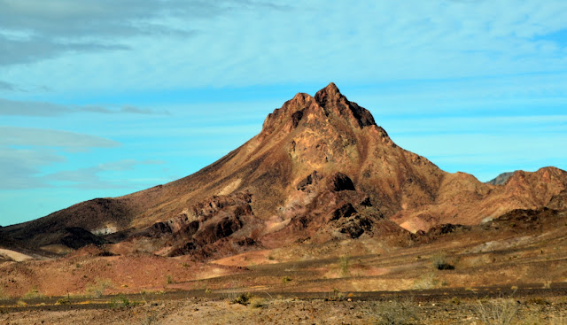 Is this the core of an old volcano?
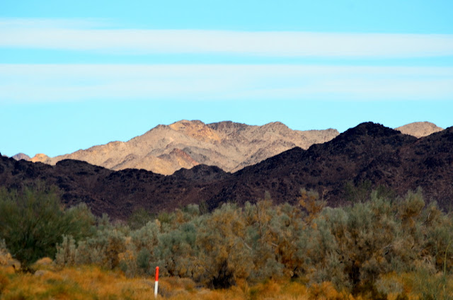
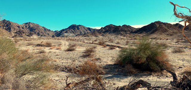
We drove down Ogilby Road and thankfully, there was a lot less traffic. The desert stretches out on both sides of the road and for some miles, it runs along some pretty rugged mountainous terrain. Eventually we came to the Historic Townsite of Tumco.
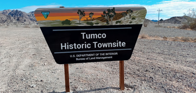
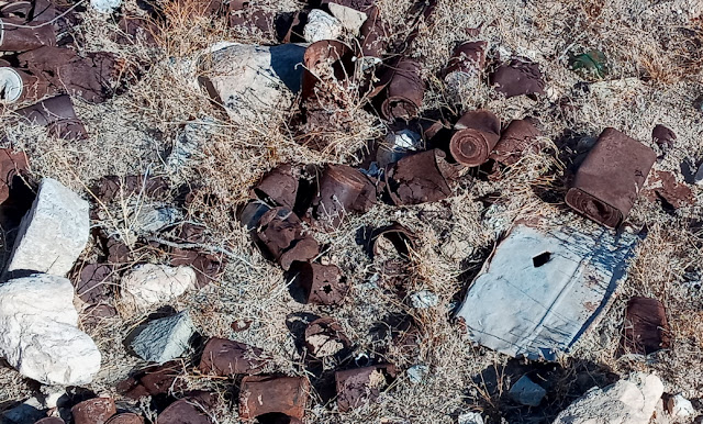
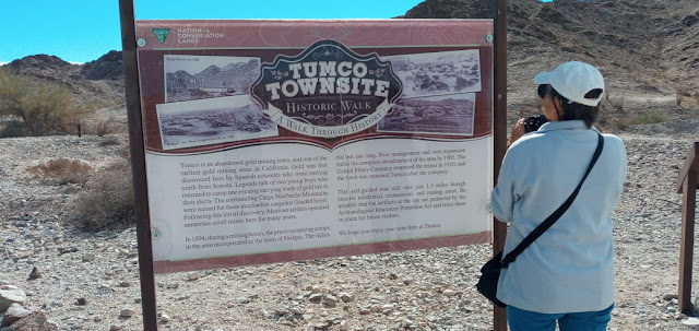
We parked the van at the entry to the Tumco Rd. and walked the distance to the town site. I am a fan of ghost towns, but Tumco is really only the former site of a ghost town. There are no buildings left. Instead we found a few dugouts where the buildings had been sitting.
 When ever I am on such historic ground I can feel some of the spirit of those long-gone days. Tumco was one of the earliest gold-mining towns in California.
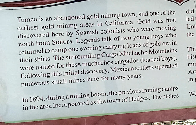
Gold was discovered here by Spanish colonists moving up from Sonora. A legend tells about 2 young boys who brought back loads of gold. The surrounding Cargo Muchachos Mountains were named after those fellows, the "Muchachos Cargardos (loaded boys) Due to poor management and over expansion operations ceased in 1905 and the entire site was abandoned, only to be restarted in 1910 until finally gold ran out years later. It was first in 1910 that the site was named Tumco.
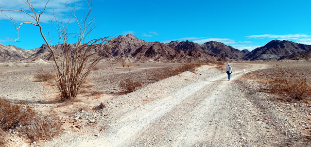
We didn't take the 1.5mile full hike up and around the entire town site, as we know Dixie gets very thirsty and we hadn't brought water for neither ourselves nor Dixie. Maybe we will go back there another time. Meanwhile, you can take a trip there.
Maybe there is still gold in "Them Thar Hills".
No comments:
Post a Comment
We like to hear from you. You can add your comment here: