Thursday, November 18, 2021

Day 8: High And Low - We Go With The Flow

 I just couldn't resist this rhyme as it really describes our day. 

In my last posting I mentioned that US-70 runs at around 4000ft elevation. Today, our route dwarfed that number as our rig had to climb to 7500ft!  Yes, the mountains in New Mexico are very high - and steep, something that we had to experience when we climbed up to the San Augustin Pass in the San Andres Mountain range, which divides the high plains of Alamogordo from the city of Las Cruces, New Mexico. But before we got there we had a beautiful ride in the early morning hours right after sunrise, then stopped at the White Sands National Monument. We had seen this amazing natural wonder a couple of years ago and hiked in the dunes with our dog Molly. Here is the link to my old posting. Today we left after a short break at the visitor Center and started the climb up to the Pass. It almost ended in disaster. The grade is very, very long and we had almost reached the top when the van didn't want any more of it. Luckily, it came to again after a cooling break. (See picture below.)

          This mountain is Jack's Peak 7553ft
      Early ride from Roswell to Alamogordo


                      Little Adobe house ruin

Place names like "Hondo" or "San Patricio" remind us of old Western movies

                                This tower has been camuflaged as a tree
We drove through the Mescalero Apache Reservation.

Once down from the San Augustin Pass, we rolled into Las Cruces. The city has grown all over the place and is next door neighbour to El Paso, Texas

Below: the White Sands Visitor Center

Flower of the Yucca plant. They get to grow several meters tall.
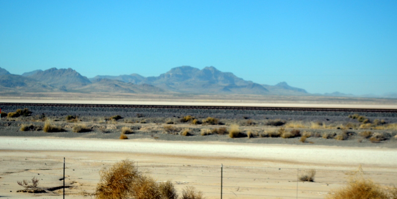
The White Sands as seen from the highway. The white colour derives from a calcium deposit in the San Andres Mountains. Winds are bringing the super fine sand down into the valley where most of it deposits in the dune area. Beyond that dune area, extends the huge White Sands Missile Range of the United States. That area is closed to the public.


                The San Andres Mountains


    Dust haze over the Valley


Very befitting: We got an oversize load escort in front of us.
Cooling off at 5700ft
As we drive along the I-10 we come to an inspection station of the US border Patrol, but today they were all on a lunch break.
Never far away: The freight trains
After passing through Las Cruces we get on the I-10 which finally brought us over to Arizona and the never-ending desert landscape.


At around 4pm we were only 45minutes away from the city of Tucson. We pulled into a campground in Benson,AZ.

Tomorrow's trip will bring us to our destination, the Hot Springs Long Term Visitor Area at Holtville, CA.

Wednesday, November 17, 2021

Day7: We Never Thought To Make It To Roswell, NM

By golly, it's a week ago that we started this road trip and so many adventures we have had.

After yesterday's strong winds, we made it off of the Walmart very early. 


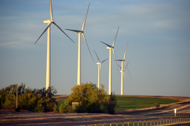
Below: Alternative energy production in Oklahoma

Cotton Rolls and (below) where they come from
Sunrise was at 7:25am and we started driving at 6:45am. It was still dark, but daylight came shortly after. Wind forecasts predicted strong winds to pick up after 9am, and here is the thing: South winds had kept the night temps at around 15C (59F) increasing wind would flip to north after 9am and bring icy air masses into the area. Going along I-40 would mean dangerous crosswinds beyond Amarillo.


                          Above:  Laughing out loud


So we decided on an escape route from Amarillo via US-60 and US-70 towards Roswell,NM. 

What Really Happened at Roswell? - HISTORY

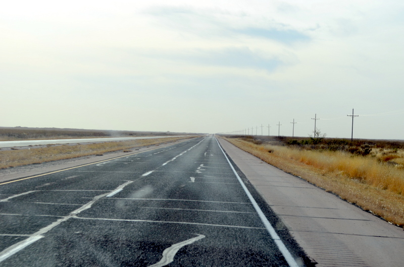
This entire stretch runs in south-westerly direction above 4000ft over sea level. US-70 has very little traffic and runs as a 4-lane highway in excellent condition mostly straight ahead. Curves are the exemption and shown ahead with warning signs!!!  And the best of it all was that we could sail along with a tailwind. This was the first time we had a tailwind since we left home. This was fun!


Looking to the horizon, a yellowish haze marked the ongoing dust storm out west.

US 60 from Amarillo to Clovis runs through a number of cattle towns and thus has more traffic, but still not bad. Amazing to see are the mile-long freight trains running along the same stretch of road. Some are equipped with 5 or more locomotives!

I must mention Dixie here as being the extremely patient and very content dog, riding along with us behind the front seats and enduring many bumps and jumps from the road. She never complains, even though this is completely out of her league. 

Dixie has been living a very happy country-style life ever since she came to us from Arkansas. Now we had brought her through her birth State Oklahoma from where she was brought as a new-born puppy to the dog rescue in Arkansas. I often wonder where her 6 siblings are living. Would she recognize them???

Sooo, for tomorrow we are planning to move into Arizona, maybe to find a camp in the Tucson area in a BLM-area (Bureau of Land Management) The last day will bring us over to Holtville, CA which will mark the end of our journey and the beginning of a several months long recreation in the warm sun.

Follow along with the events of the last days over the trip.